Built on practical experience.
The work behind Gromatici is grounded in hands-on experience across land surveying, geospatial data, drone mapping and site-based projects.
Boundary Survey
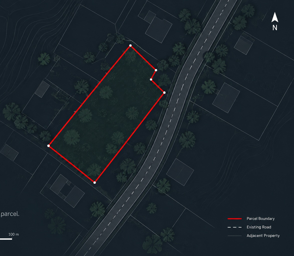
Establishing and defining the extent of a parcel of land.
Scope
To establish and determine the extent of a parcel of land for documentation purposes.
Process
The work involved field measurement and boundary definition, using available information and observations from the site to establish the limits of the parcel.
Result
The survey plan provided a clear record of the established parcel extent for documentation and future reference.
Using aerial data to understand site conditions
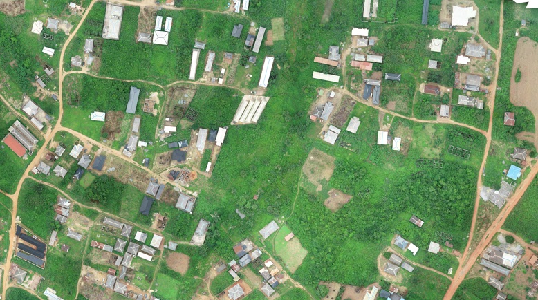
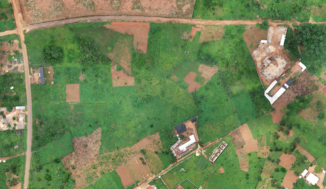
Using aerial data to examine a site and its surrounding development.
Scope
To capture aerial information over a site where encroachment needed to be investigated, providing a clearer view of the property and its surrounding features.
Process
The site was captured using drone-based aerial imagery, and the resulting data was processed to produce an orthomosaic of the area.
Result
The resulting spatial data provided a broader view of the site and surrounding development, making it easier to examine occupation and features across the property.
Mapping beneath the water
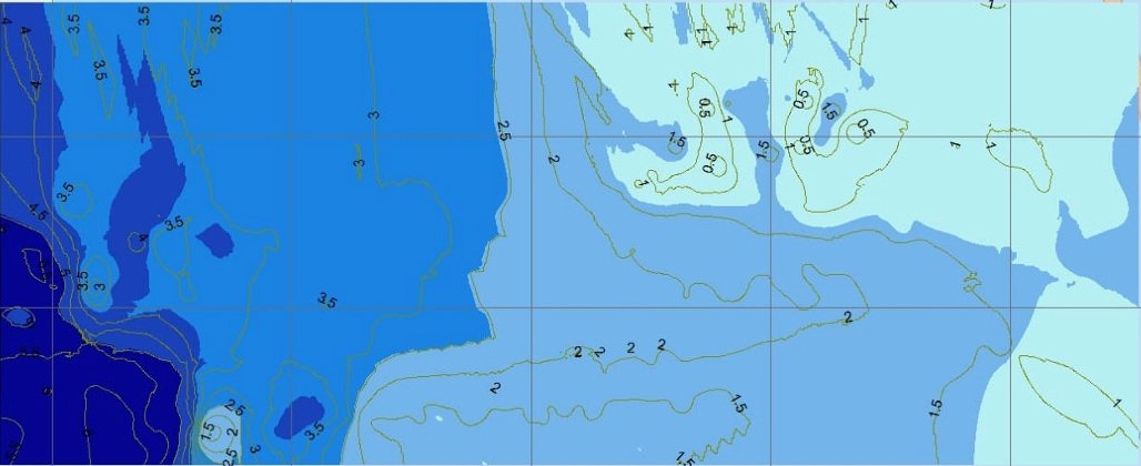
Capturing depth measurements to understand variations in the underwater profile along navigational routes.
Scope
To capture depth measurements and understand variations in the underwater profile along the navigational routes.
Process
Depth measurements were collected at five-minute intervals along the navigational routes using a South SDE-28 single-beam echo sounder and transducer, with DGPS used for positioning. The survey data was processed using PowerNav and further worked with in ArcGIS to develop the bathymetric representation.
Result
The resulting bathymetric data provided a spatial representation of the surveyed area, showing variations in depth along the navigational routes.